 At CIMA (Atlantic Center for Environmental Research, S.L.), we want to show you what we do—both in our offices and beyond.
On this page, you’ll find a series of short videos called "Things We Do at CIMA", which will help explain what we do and how we do it. All to bring you closer to the world of Marine Biology and Oceanography.
«Things We Do at CIMA» #19: Campaign I:
In the previous video , we discussed oceanography projects in general. In this one, we’ll tell you about one of the campaigns we’re currently conducting.
With this project, we aim to reveal the presence, distribution, conservation status, pressures, and threats facing certain communities in circalittoral seabeds ranging from 50 meters to at least 120 meters deep.
To achieve this, we began by performing a bathymetry of the study area (total area: ~250 km²) using a Multibeam Echosounder. We’ve already explained in this video how bathymetries are conducted or, for example, the transects we create for mapping marine vegetation . As you know, bathymetry is key when initiating many maritime studies, as it provides a detailed representation of the seabed.
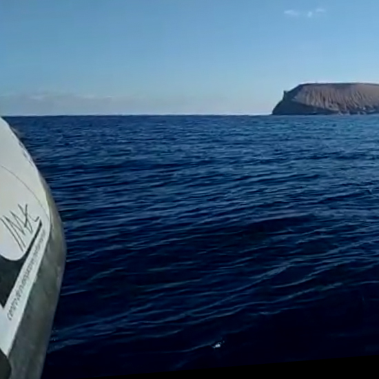
These early summer days, after completing the bathymetry, we’ve just finished the side-scan sonar campaign to refine the detailed bionomic cartography of the study area.
Once the seabed is fully mapped, the next steps will involve a community identification campaign through underwater video, a sample collection to correctly identify species that cause uncertainty, and finally, completing the bionomic cartography with the collected data.
But we’ll save that for another video!