 From CIMA (Centro de Investigaciones Medioambientales del Atlántico, S.L.) (Atlantic Environmental Research Center), we want to show you what we do in and out our offices.
On this page you can find a series of small videos called «Things we do in CIMA», which will help us to explain what we do and how we do it. All this to approach the world of marine biology and oceanography.
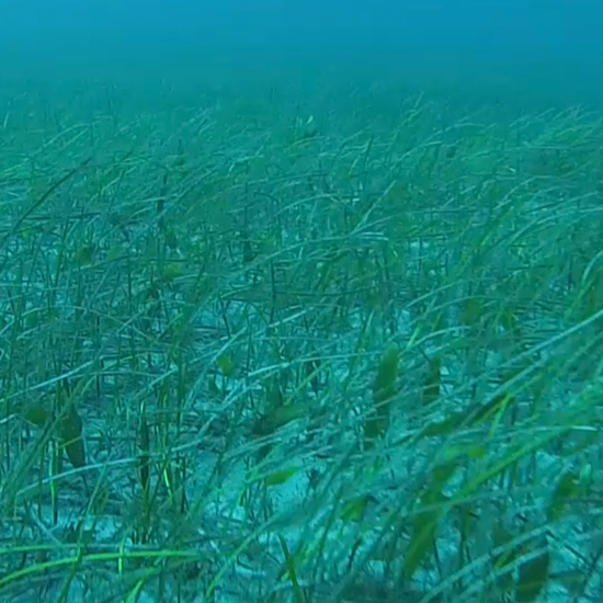
– «Things we do in CIMA» #2: Sea grass meadows cartography: In this video we want to show you one of the actions, necessary for carrying out the cartography of the sea grass meadows of Cymodocea nodosa. The first thing we have to do is to draw a series of transects on the map, which are the routes that will be followed to observe this marine plant. These transects are traversed with the zodiac, with a camera hauled close to the bottom recording everything it finds on the way. These videos are georeferenced, which means that we know the exact locationof areas where sea grass is growing. When back to the office, we look through the videos and put the coordinates according to the distribution of species on the seabed.
Why are we doing this?
Cymodocea nodosa is an endangered species and is currently protected. Among the other important aspects, it functions as a nursery ground for juveniles of many species and thus crucial for growth and development of marine fauna. It is essential to have this species well mapped so that human-induced alterations of the coast, such as construction of infrastructures, emissaries, etc. would have the least possible impact on it.
Download to share by WhatsApp (4.6Mb).Remember, to download the video from the phone, click the link. If you are asked, choose to open the video with the browser and, once opened, keep your finger on it until you get a poster of this style: «Save Video». From now on, you only have to share, share and share!


